HorseAnalytics
HorseAnalytics is a German early-stage startup with seed funding. The vision of HorseAnalytics is to accompany horses at all times and to improve their wellbeing and health by using mobile apps, sensors and integrated data analysis.
The challenge
The product owner came to us with an idea to monitor horse activity 24/7 including exercise, sleep, and behavior and to translate all of this into meaningful data for the equestrian.
We realized that the cornerstone of this project would be a machine learning algorithm that detects various horse activities. With this in mind, we designed the right solution architecture and suggested a plan of action that would help ensure a successful delivery.
Delivered value
The client expected us to take a major responsibility for delivering the whole end-to-end technical solution, which included business analysis, architecture design, mobile app and cloud development, information model development, data collection and processing, and neural network training.
After one year, when the system was ready and we released the first apps, we were happy to see all the positive feedback that the real users have been sharing with the HorseAnalytics team.
The process
Together with the product owner, we decided to start with a lean development approach. Instead of jumping straight into hardware development, we decided to build an emulator app first. This app would run on regular mobile phones located on the horse and collect movement data.
From here, we started getting to grips with which data to collect and which to discard as noise, how to store it and in which format, etc. Obviously, raw data collection and processing is the most critical phase when you're about to build your own neural network.
For the emulator app, we decided to collect data on Google Firebase, which suited our initial requirements ideally. To ensure we were collecting the right data of the horse movements, we decided to build a voice assistant that would talk to the horse rider via an earpiece and dictate which exercise they had to perform next. At the same time, we were also busy implementing UI elements for the mobile app and ensuring a sleek UX design.
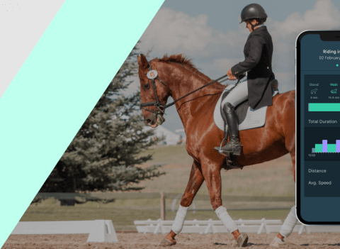
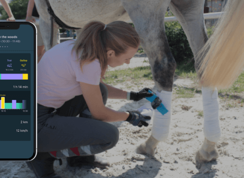
Moving forward, we set up a cloud environment on MS Azure IoT to improve our data storage and streamline the work of our neural network. When the first app was launched, it could detect four main horse activities: standing, walking, trotting, and galloping.
In the next releases, we focused on polishing our machine learning algorithm and adding new app features. This project also featured a unique QA testing process out in the field that brought our office employees closer to horses.
How it works
With Lemberg Solutions, I really like the supportiveness. They don't just develop what you tell them to, but rather try to understand the intention you have for a feature. We have had such a good experience and can definitely recommend Lemberg Solutions.


